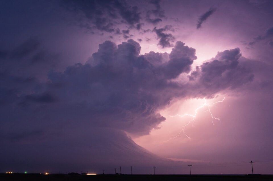
Ever seen a group of people crowd around a laptop in a gas station lot, then pile into vehicles and go? That is a chase day. It looks like magic. It is not.
Storm chasing tour guides read the sky a bit like a farmer reads a field. Slowly, with plenty of coffee, and with a few smart tools. Here is how chase day forecasting works, in plain words.
The Four Ingredients Behind Every Big Storm
Guides start with a recipe. A regular thunderstorm needs three things: moisture, instability, and lift. A severe one needs a fourth, wind shear.
- Moisture: the fuel. Across the central U.S., a lot of it comes up from the Gulf of Mexico.
- Instability: warm, humid air near the ground with cooler air above. That air wants to rise, and fast.
- Lift: the push. Fronts, drylines, and storm outflow can all do the job.
- Wind shear: wind that changes speed or direction as you climb higher. It tilts the storm so the updraft survives, and it can add spin.
Miss one and the storm may fizzle. That is why some days look perfect on a map and still turn out quiet. The sky is moody.
Now picture a morning where warm, wet air is streaming in and the winds aloft are strong. Guides perk up. Somebody refills the snack bag. It is the kind of setup that makes a long drive feel worth it.
How a Chase Day Unfolds
Every chase day has a rhythm. Here is the usual order of things.
- Morning planning. Guides study weather patterns and forecast maps, then pick a target area. Think of it as choosing a fishing spot before sunrise, only with more maps and fewer worms.
- Midday check. Satellite images show where clouds are building. Sunshine warms the ground, and warm ground feeds instability.
- Watching the lid. A warm layer of air, called the cap, can keep storms from forming. When enough lift shows up, the lid pops. Then things move quickly, sometimes in minutes.
- Radar time. Once storms fire, live radar shows where they grow, move, and rotate.
- Smart positioning. The group gets placed at a safe distance with a clear view.
That fifth step matters most. Storm Chasing Adventure Tours says it uses radar tracking to keep guests in safe positions, and it reports a 100% safety record.
Why Radar Is Not the Whole Story
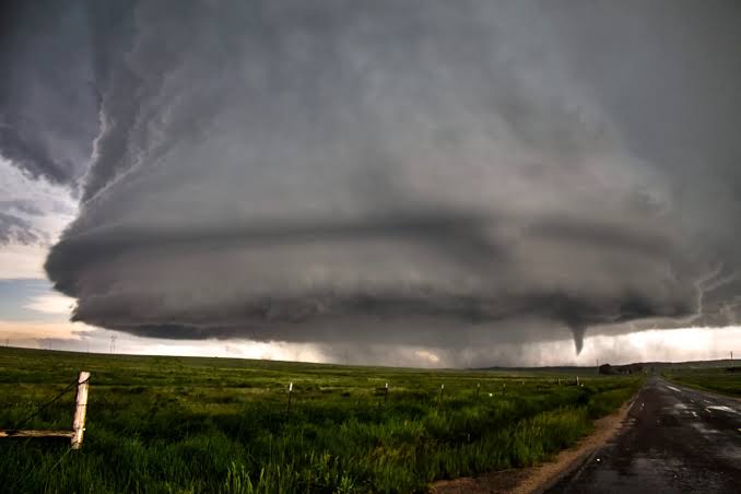
Radar is a wonderful tool. But nothing beats looking up. Guides also watch the sky itself, and cloud shapes like a wall cloud tell them plenty. Tech gives the first hint. Your eyes finish the sentence.
When the Plan Changes
It will change. Storms drift, roads run out, and the sky has its own ideas. The company says conditions can swing from calm skies to violent thunderstorms. Good guides shrug, check the data again, and adjust. That patience is half the job.
Where the Best Action Happens
Most tours happen in Tornado Alley, mainly in May and June. That is when the central states tend to line up the ingredients for supercells, hail, lightning, and tornadoes. Tours run six days up to ten, which gives the weather a few chances to cooperate. Some days you may get a quiet drive and a good story. Other days the sky puts on a show.
What This Means for You as a Beginner
Relax. You do not need to know any of this to enjoy a storm chasing tour. Storm Chasing Adventure Tours says its trips suit all skill levels, and the guides handle the forecasting.
Still, a few basics make the day richer. Try these little habits:
- Ask your guide what they are watching on the radar.
- Look for where the clouds are building, then notice which way they lean.
- Watch the wind at a stop. Does it change? That tells a story too.
- Snap photos of the sky every so often. You will spot patterns later.
Many guests head home with a better feel for meteorology, the company notes. Not bad for a vacation.
Conclusion: Chasing Smarter Starts With Reading the Sky
Great chasing is part science, part patience, and part gut feeling. The ingredients are moisture, instability, lift, and wind shear. The tools are radar, satellite images, and trained eyes. The reward? A front row seat to one of the biggest shows on Earth. If that sounds like your kind of trip, Storm Chasing Adventure Tours is ready when you are.